You can install it in your device (cell phone or computer)!
I recommend Installing it because you'll have a better experience: notifications when there's new content, direct access from your home screen, and faster loading times.
Lake Chuzenji (July 2026)
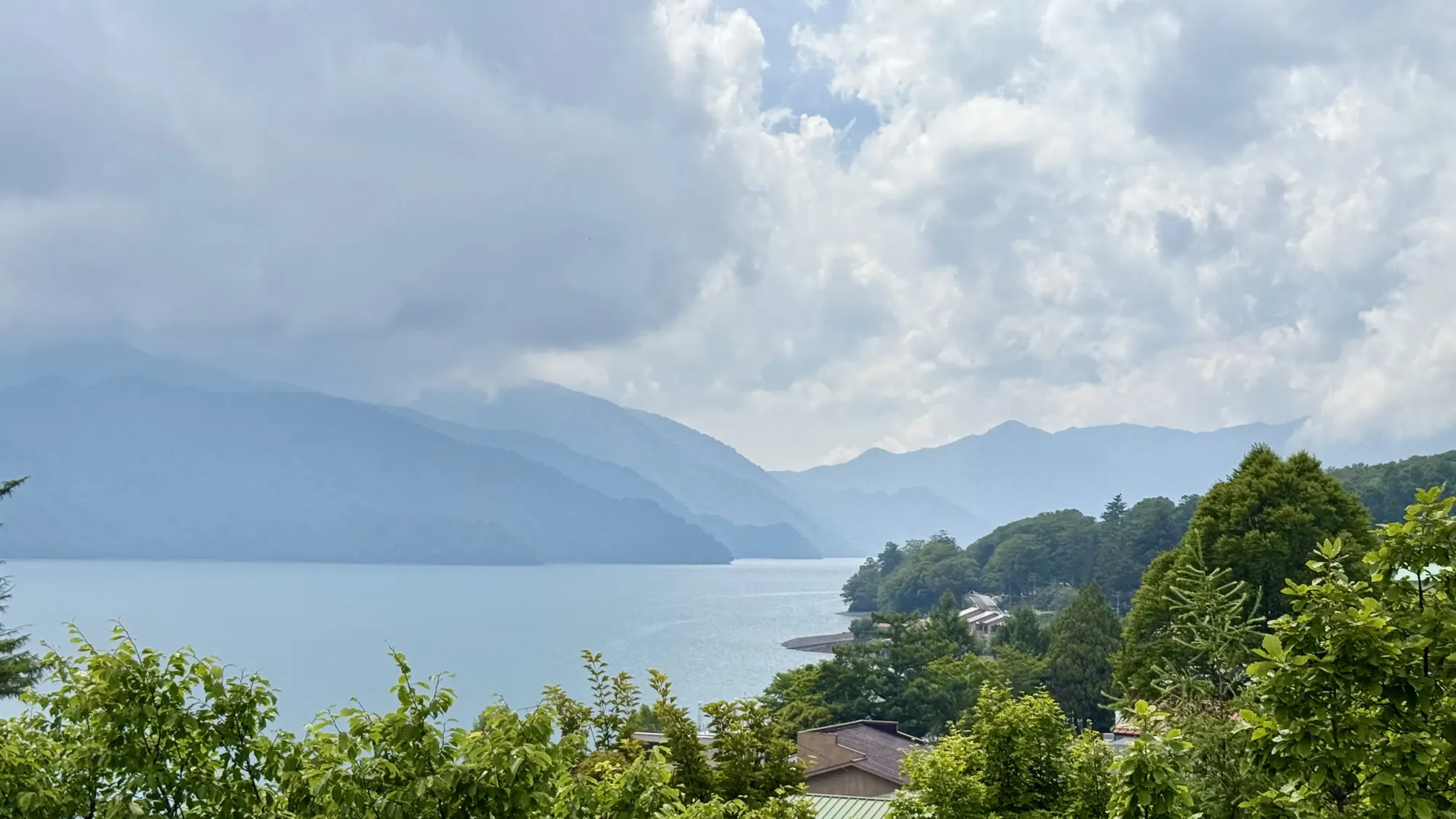
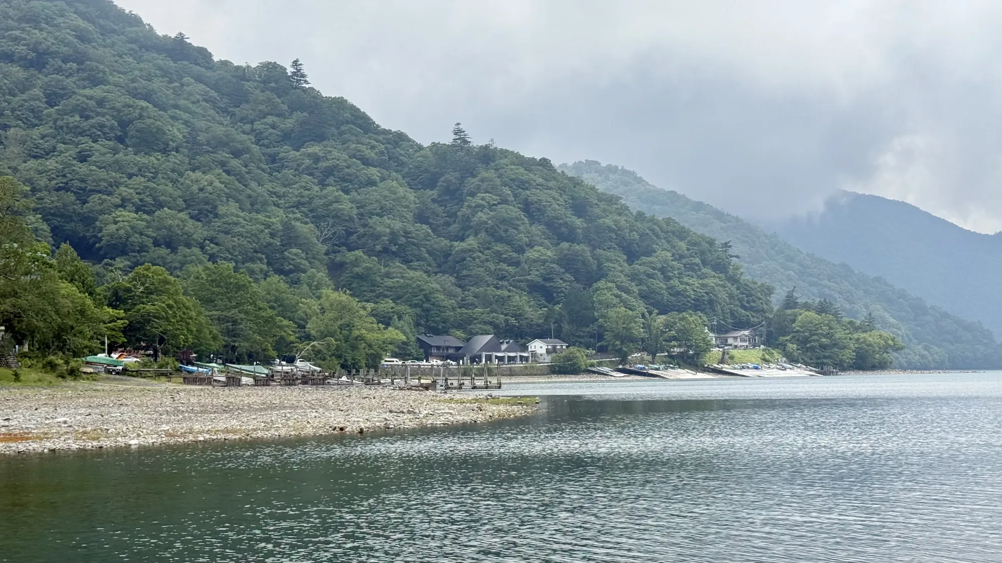
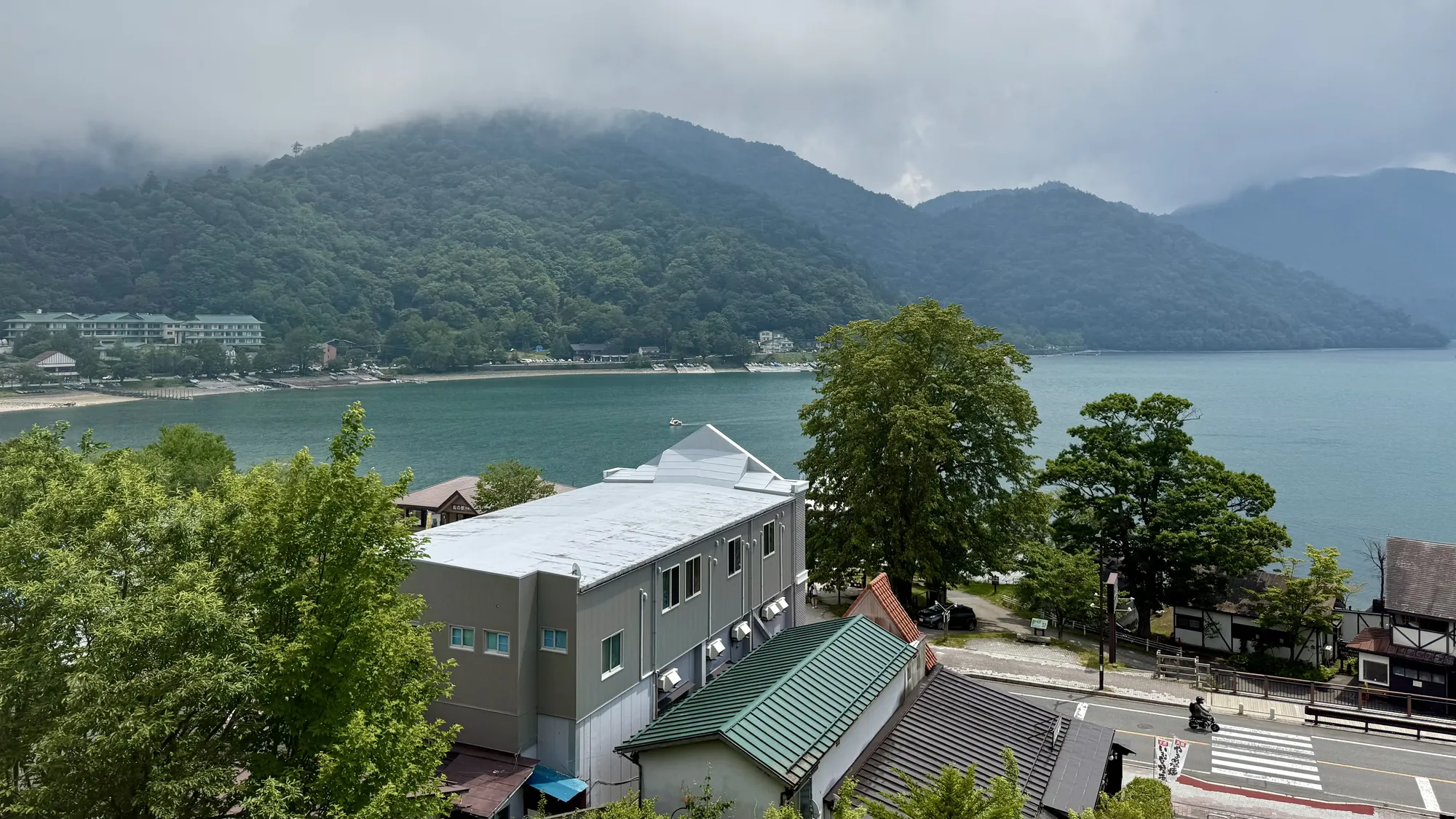
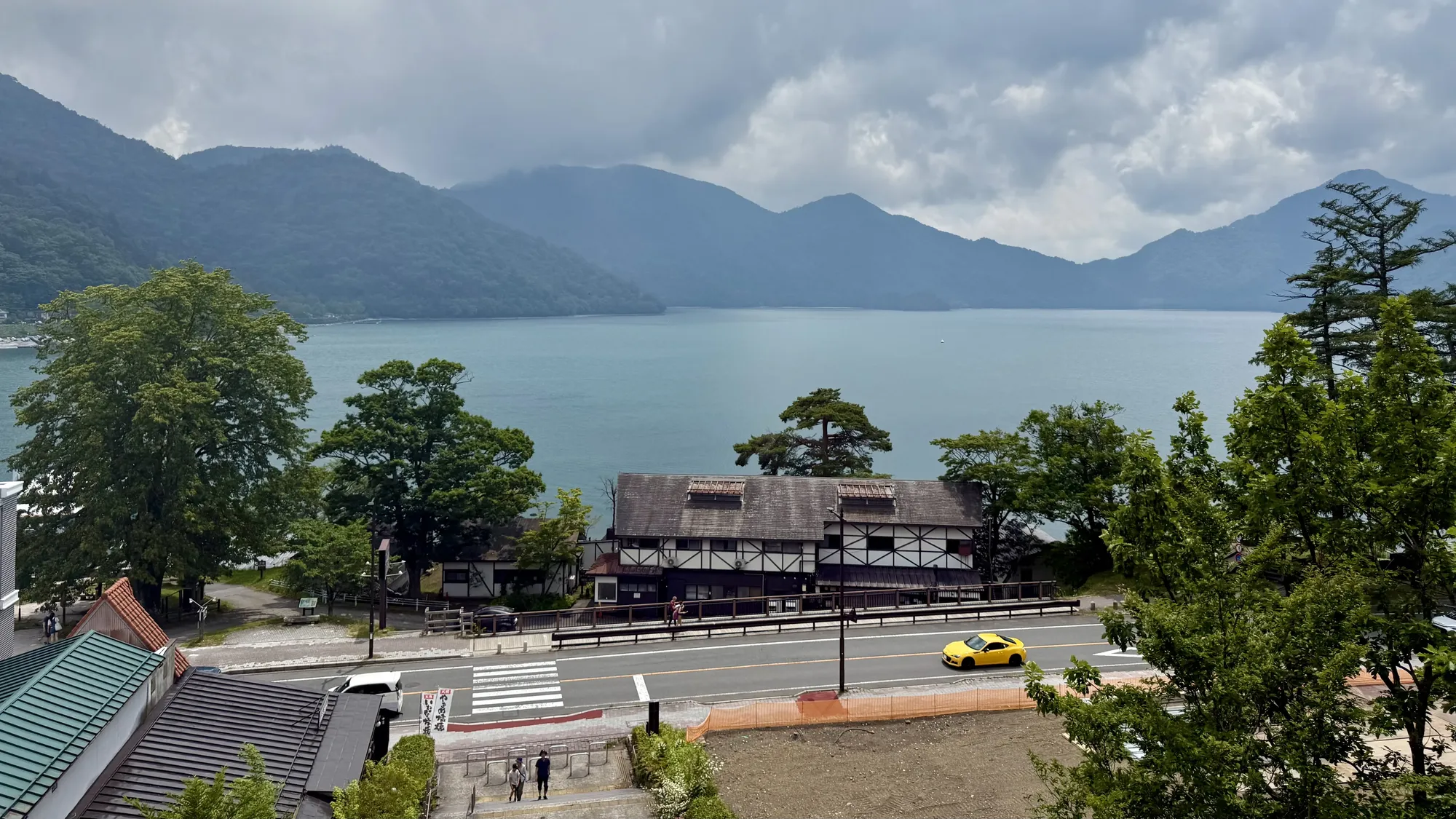
July 11th, 2026. I drove to Tokyo early in the morning, and on the way back to Saitama I didn't feel like going home yet, so I just kept driving north until I ended up at Lake Chuzenji, up in the mountains of Nikko.
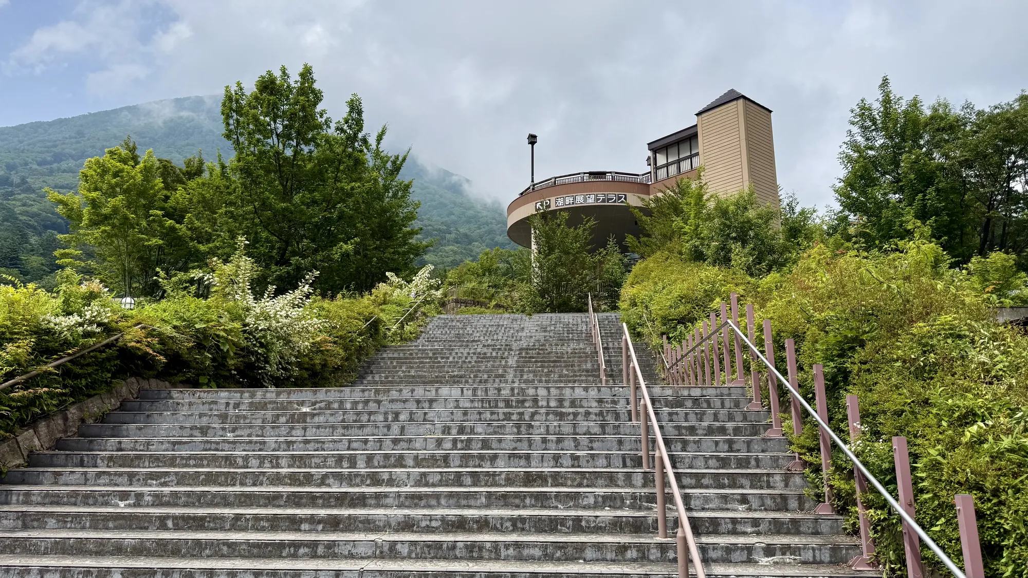
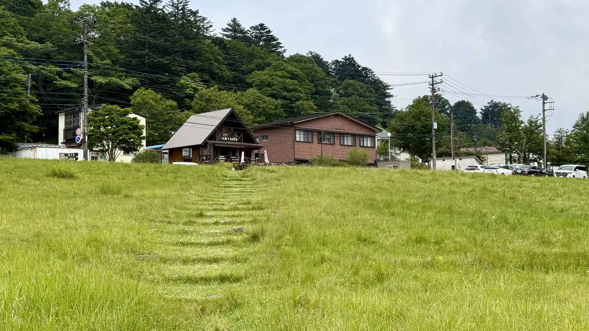
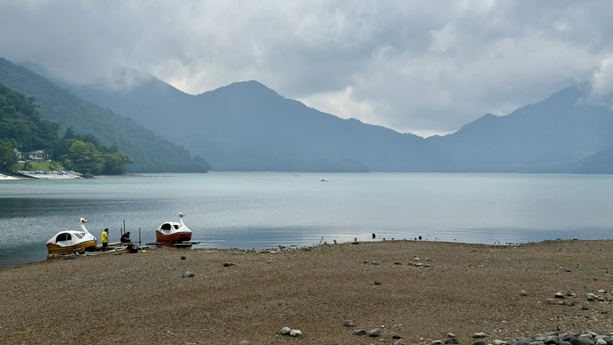
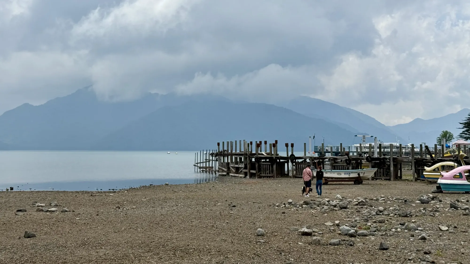
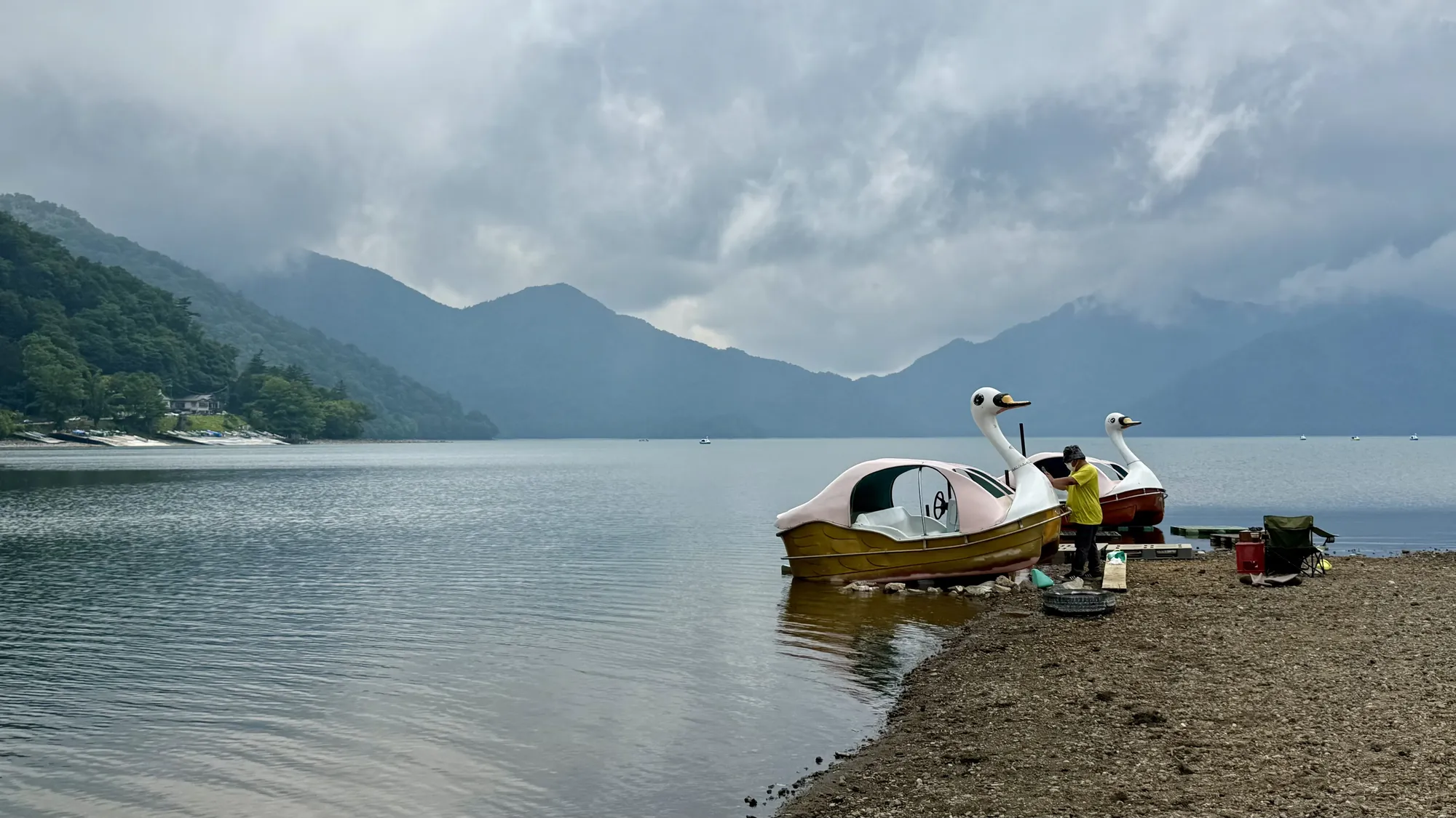
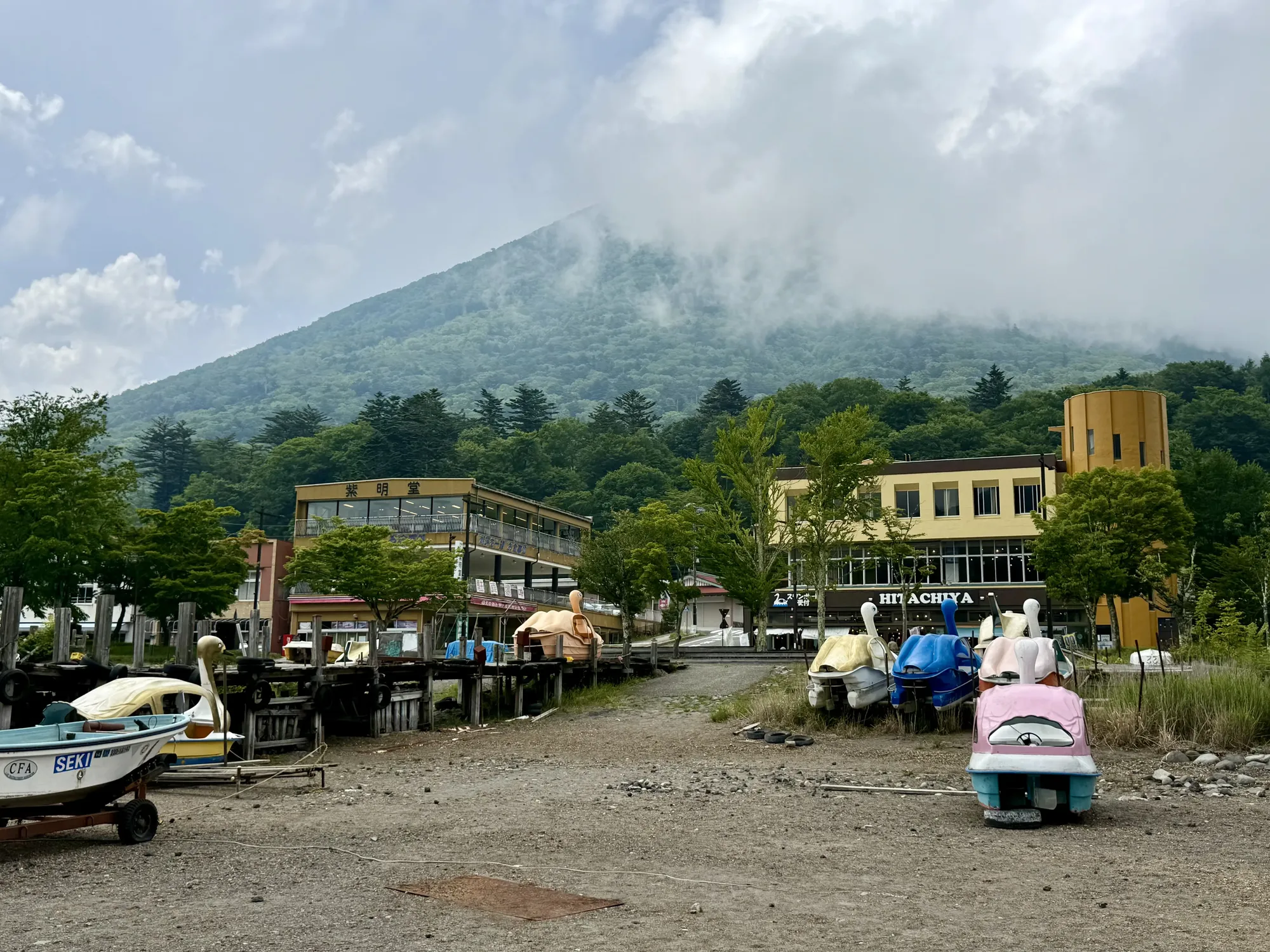
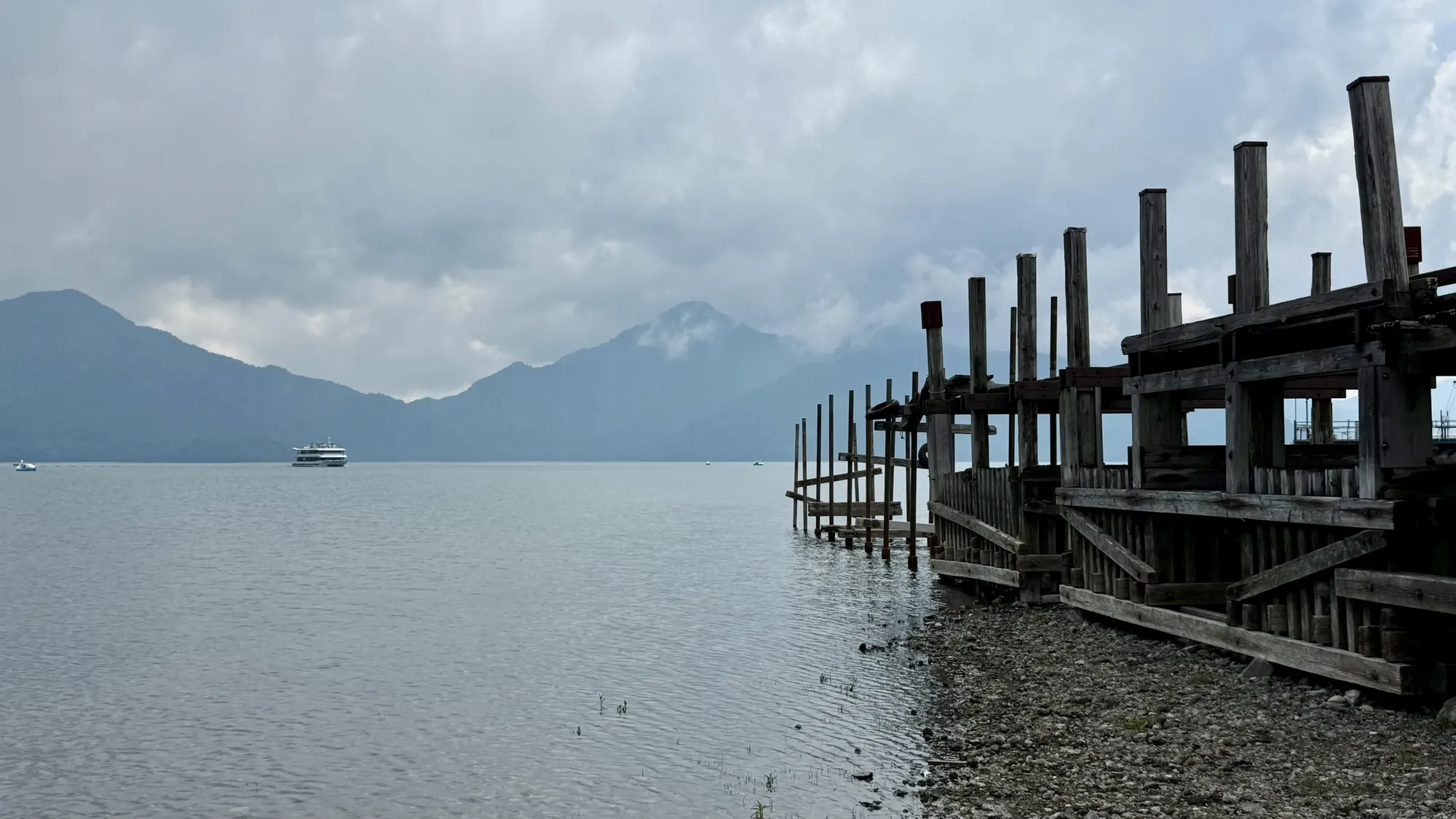
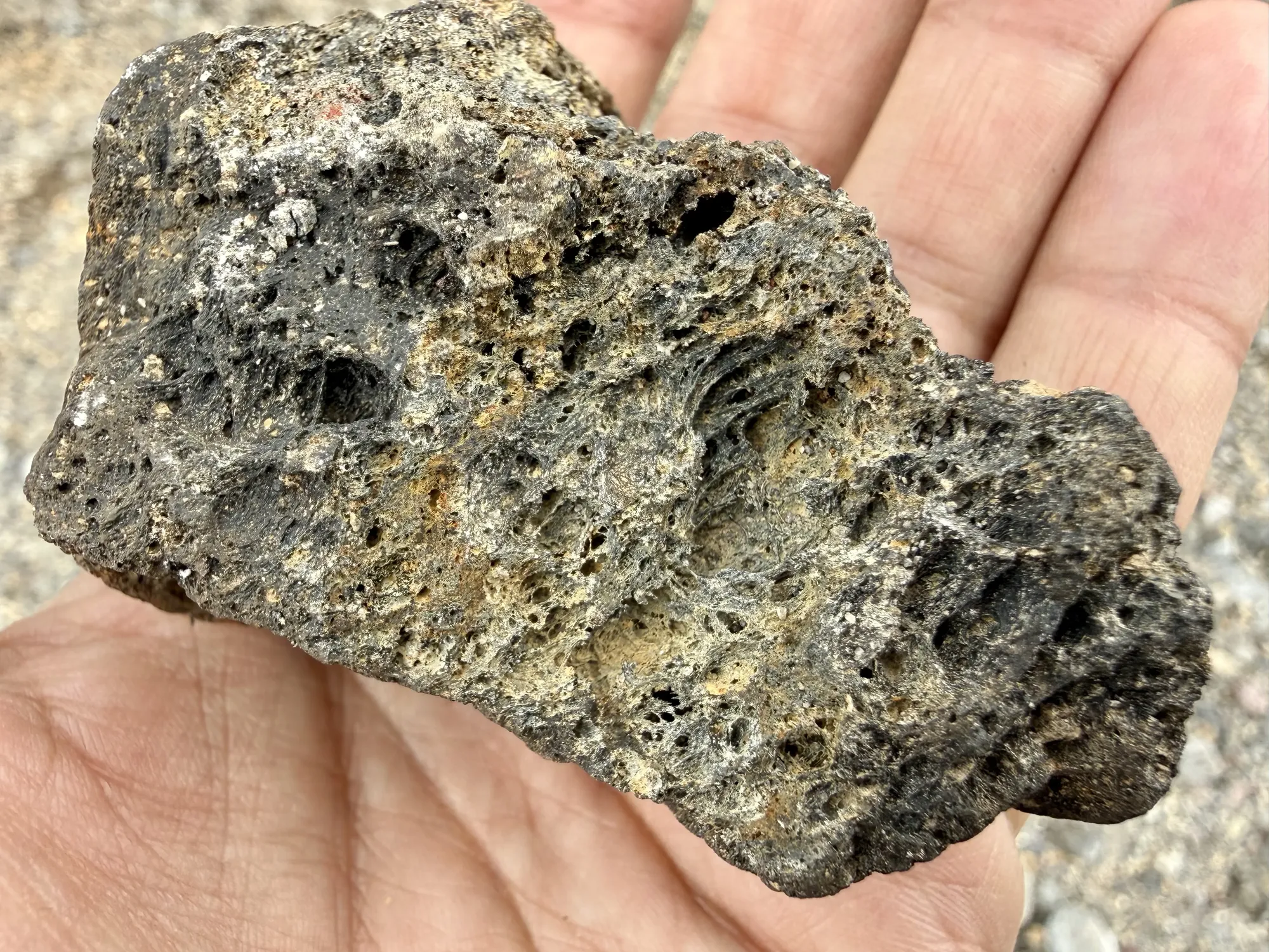
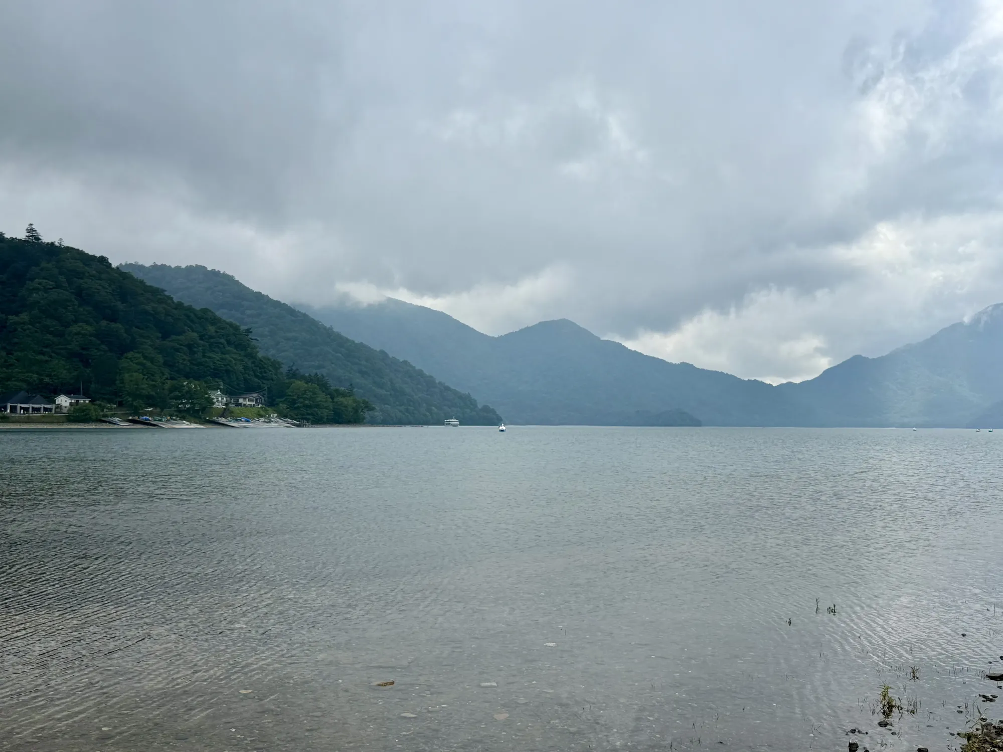
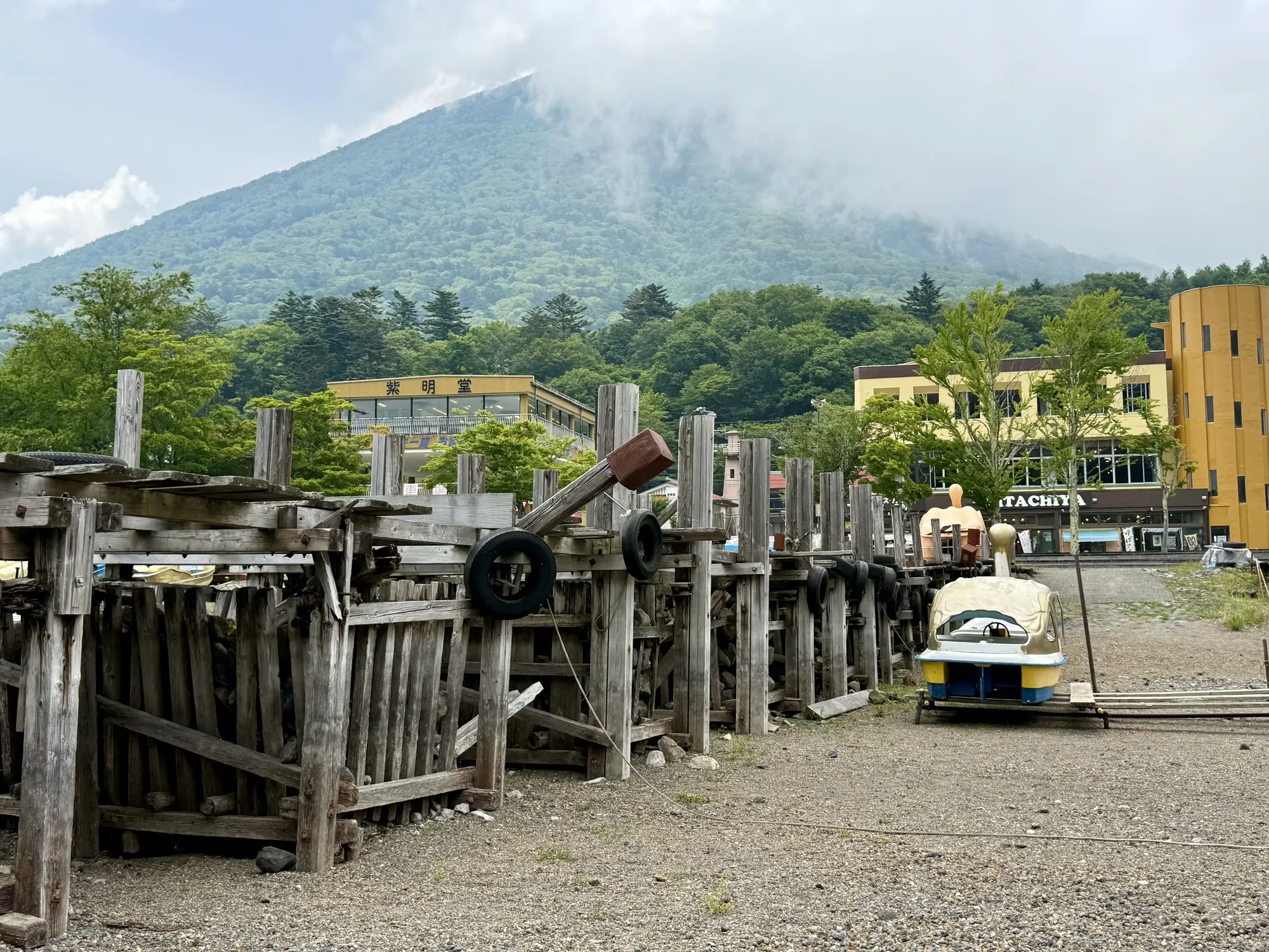
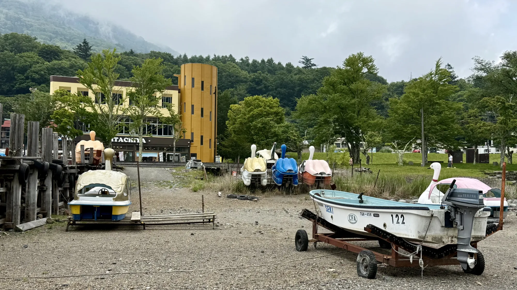
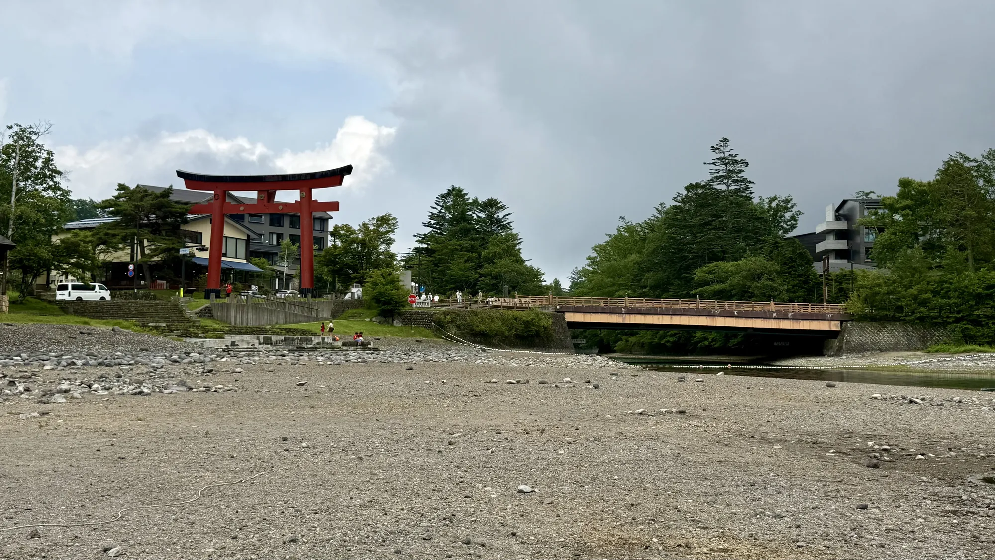
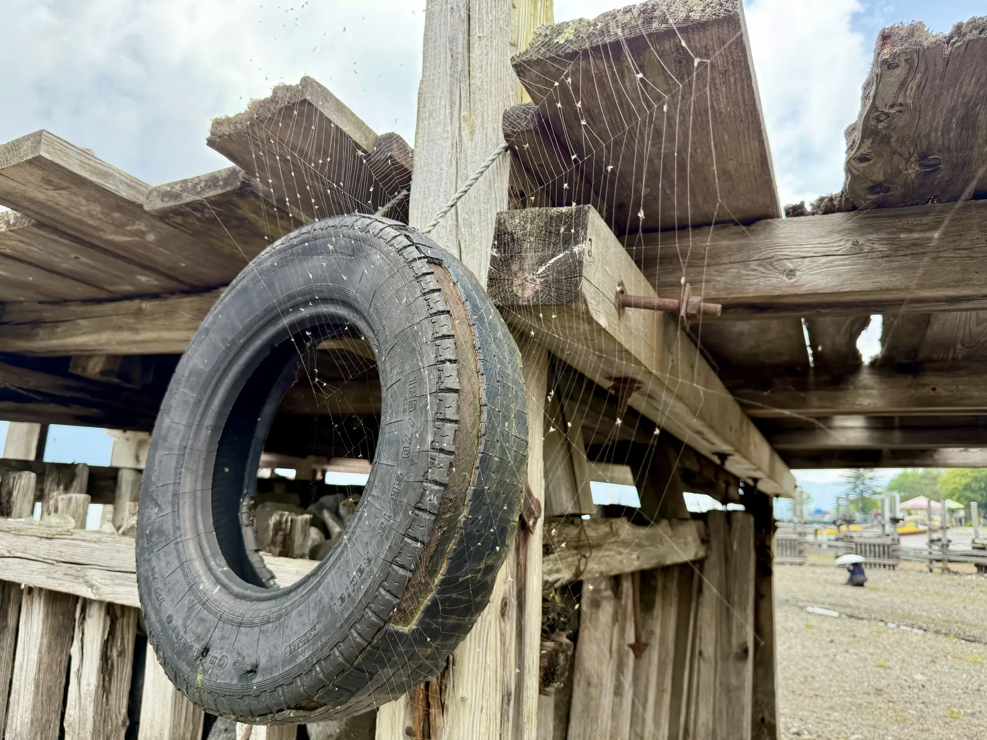
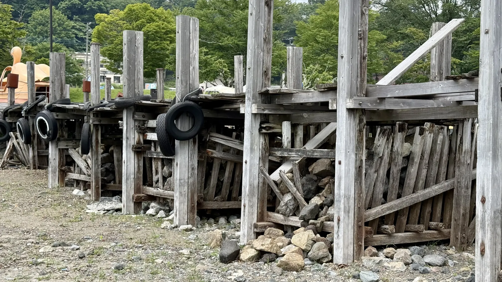
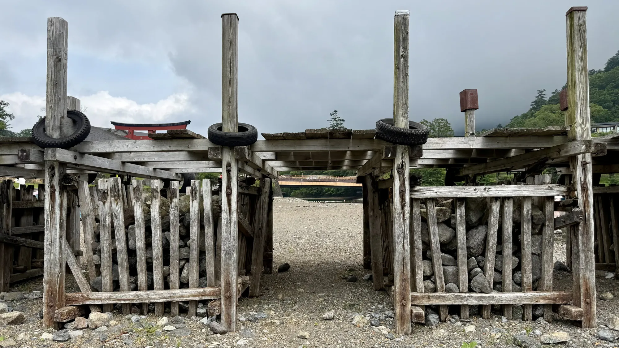
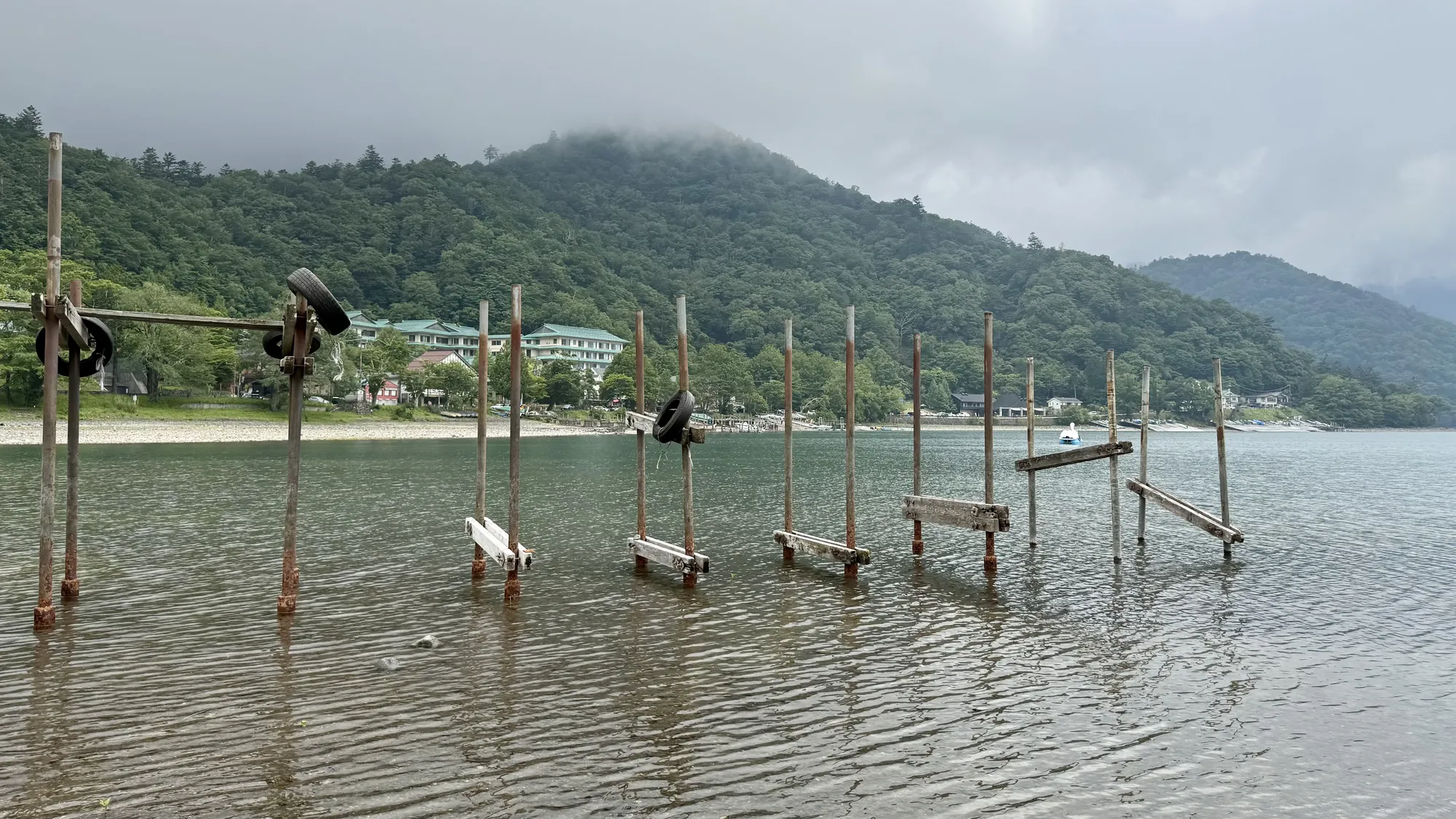
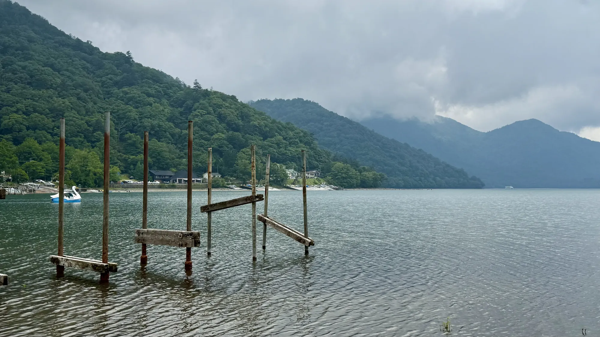
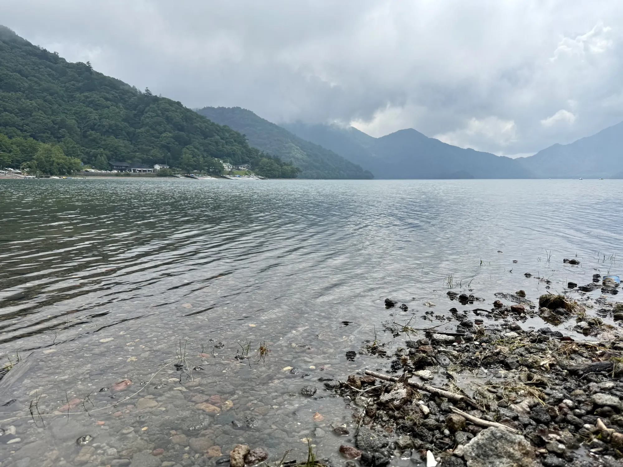
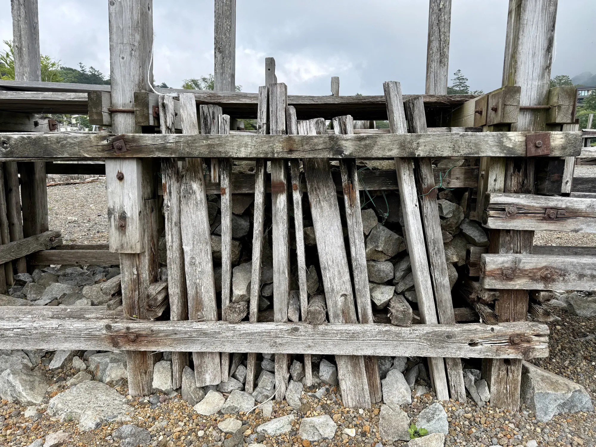
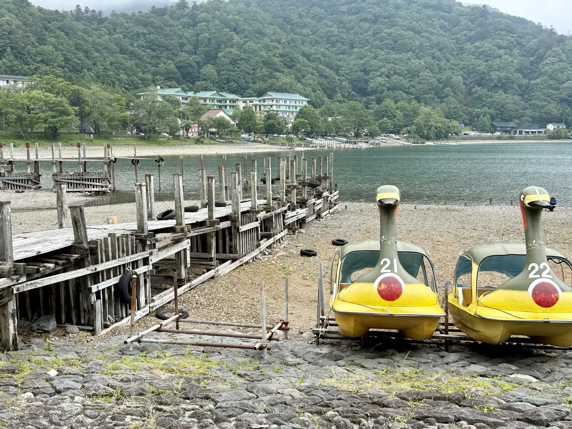
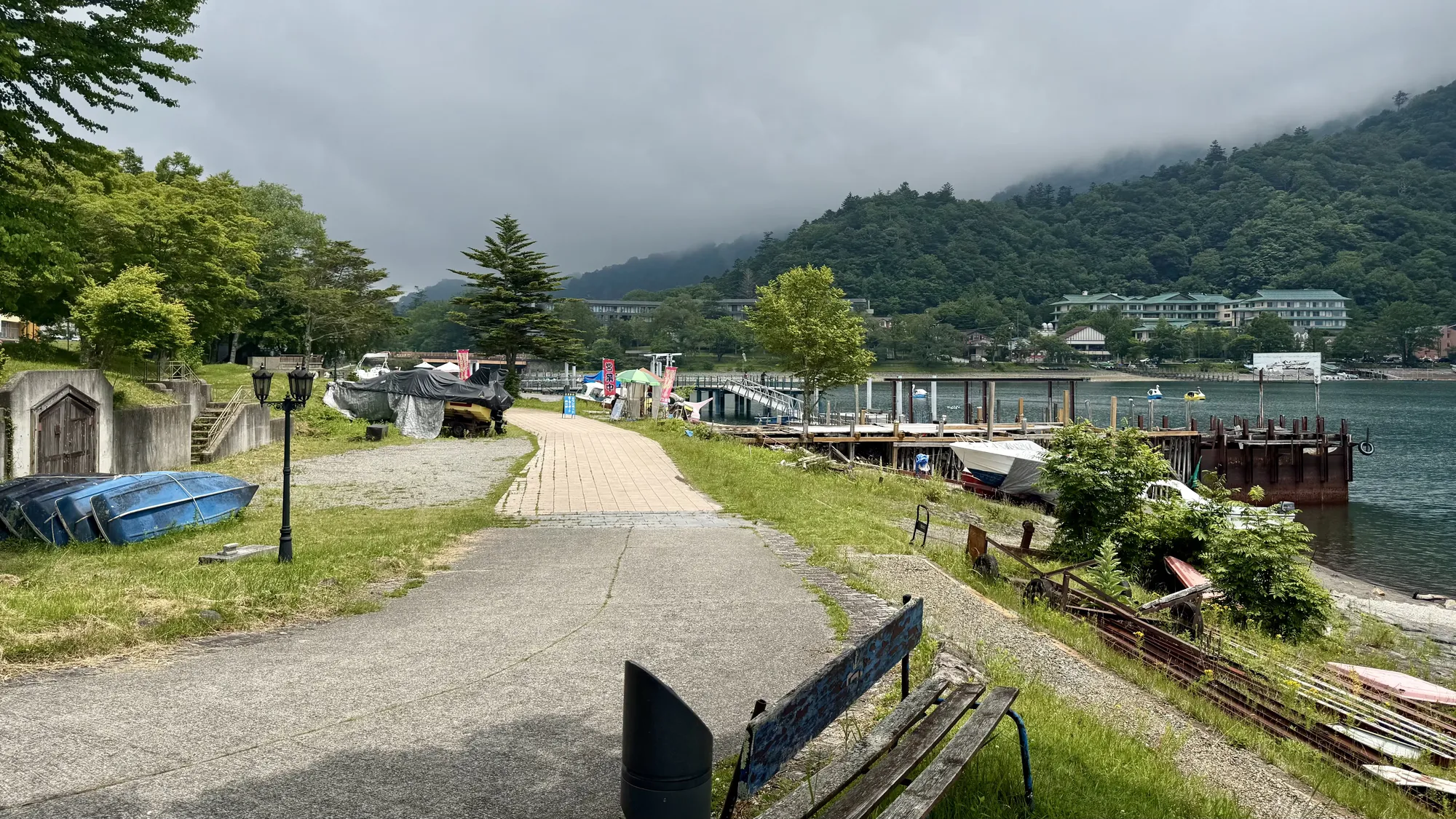
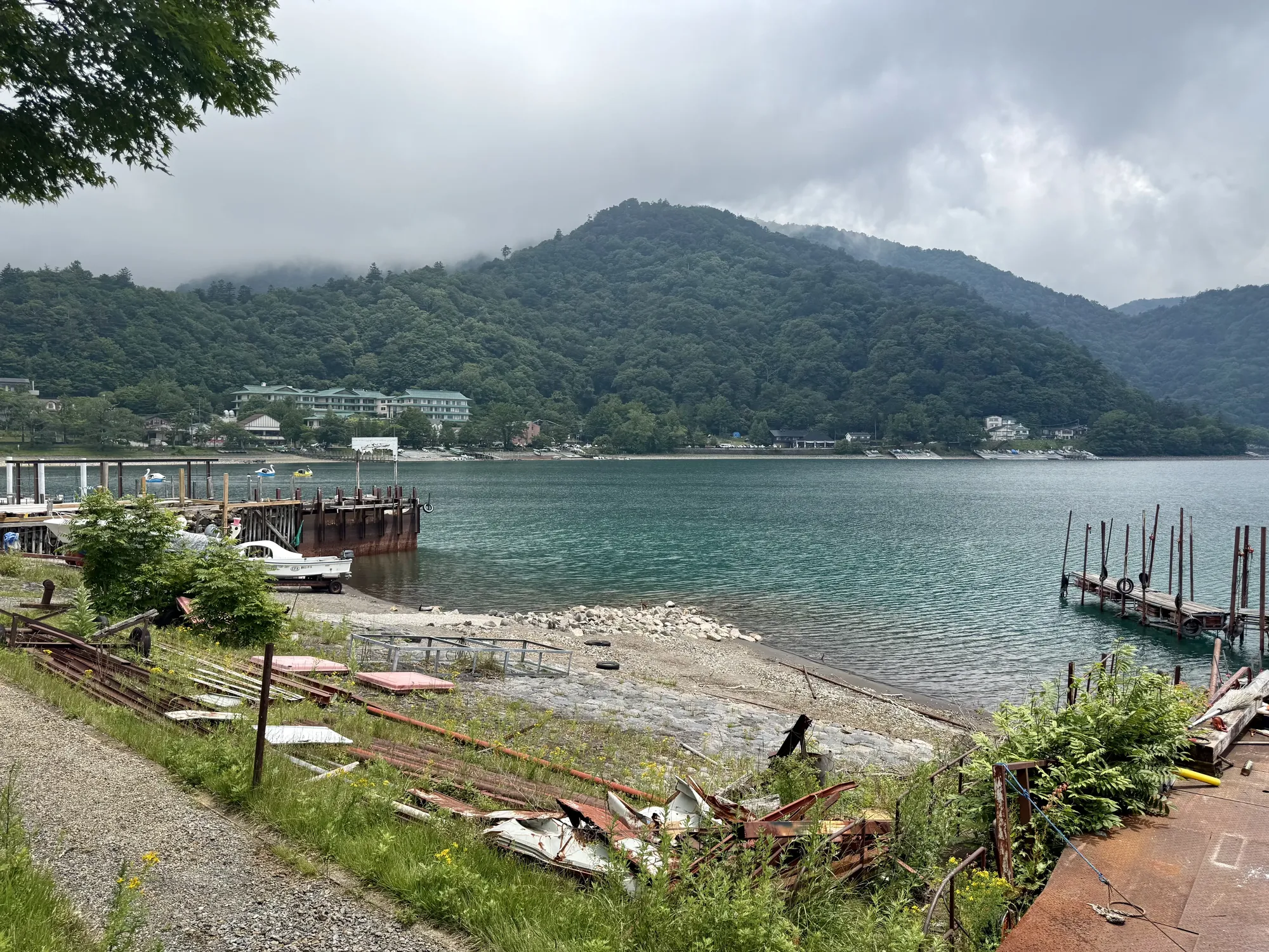
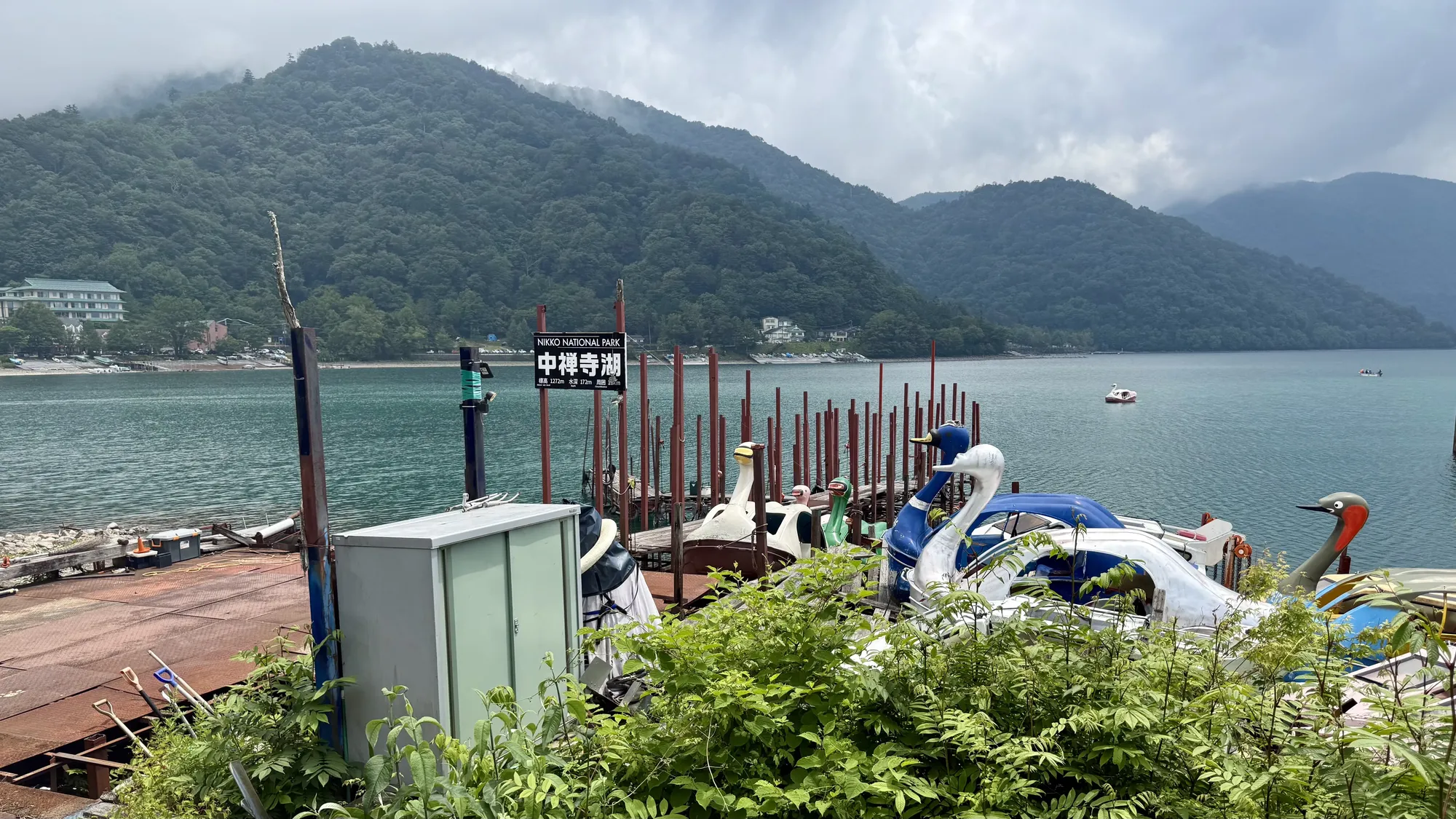
None of this was planned. My first stop was the Nikko Toshogu, but once I was there I figured I might as well keep going, so I drove up the Irohazaka all the way to the lake. I parked the car and walked down to the shore to take a few photos. The first thing I noticed was that the water level was much lower than the last time I was here: a lot of the old wooden piers were completely out of the water, sitting on the exposed lakebed. I didn't walk over to the Kegon Falls nearby this time.
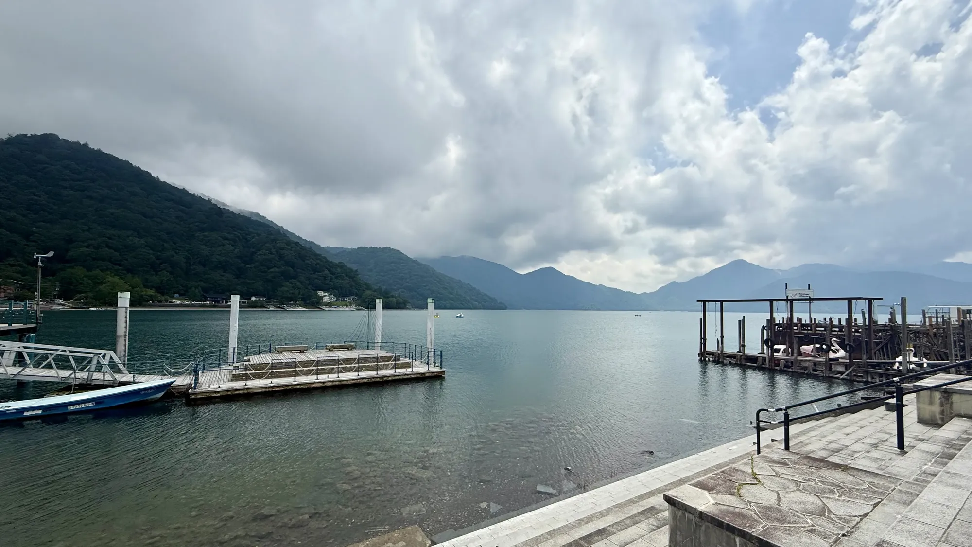
Lake Chuzenji sits at 1,269 meters above sea level, which makes it one of the highest lakes in Japan. It formed around 20,000 years ago, when nearby Mount Nantai erupted and the lava blocked the river, trapping the water behind it. Mount Nantai (男体山, literally "male body mountain") is a 2,486-meter volcano that rises right over the lake and has been considered sacred for centuries. On a calm day you can see it reflected on the surface of the water.
The Irohazaka (いろは坂, "Iroha slope") is the winding road that connects the lower part of Nikko with the highlands around the lake. It's actually two separate one-way roads with 48 hairpin turns between them. The name comes from the 48 characters of the old "iroha" Japanese syllabary, one for each curve. One road only goes up and the other only goes down, and both are famous for their autumn colors, though in July everything was still deep green.